Get in touch
Leadville Visitor Center
East Side Mining District
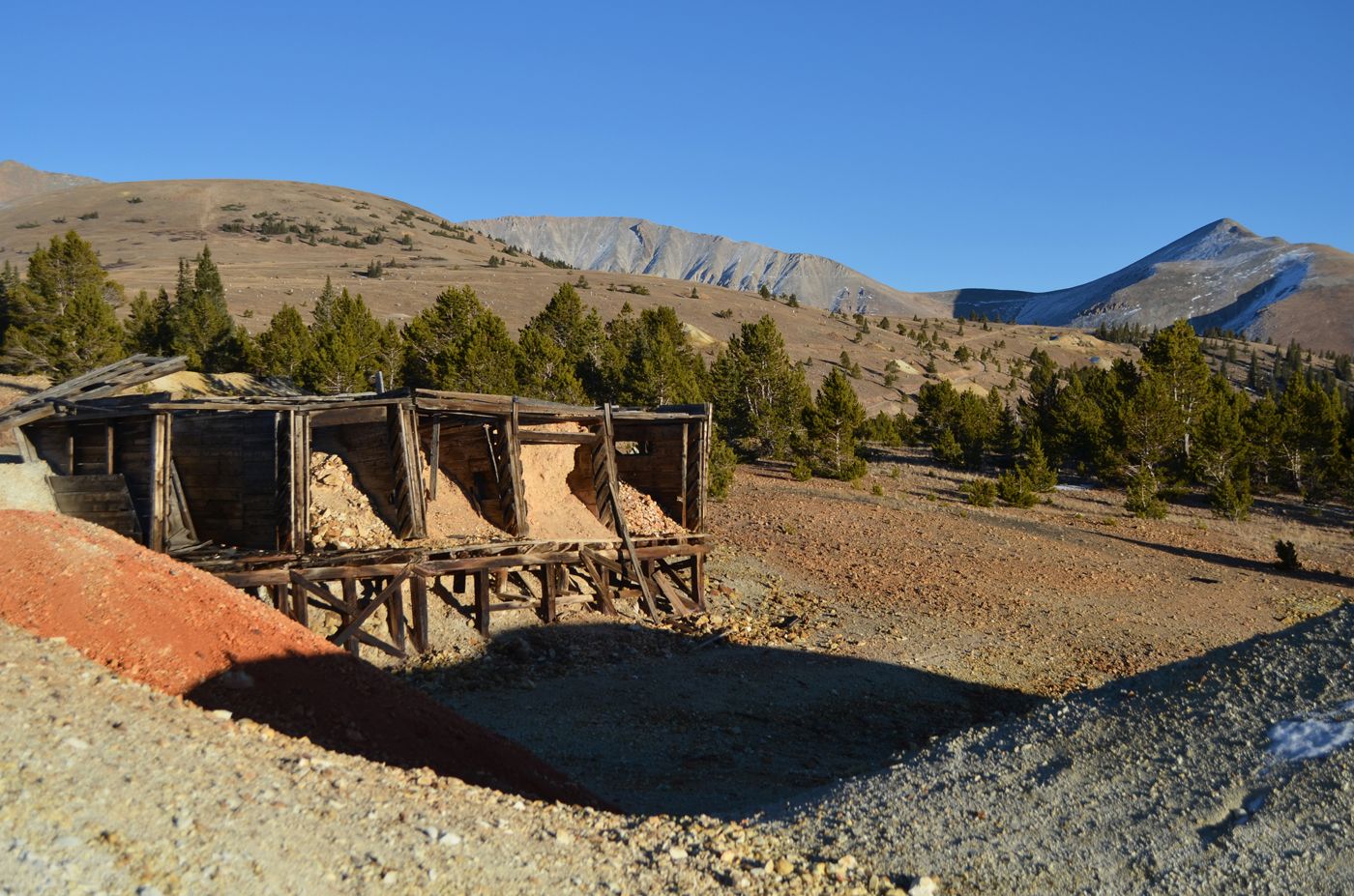
Leadville’s East Side Mining District means above-treeline views of nearby mountains, miles of roads and trails, and the intrigue of mining ruins. Roam this area with wheels or on foot, and you’ll find old mining headframes peeking through the trees, timber ore houses on hillsides, and tall stacks of tailings, the crushed rock that once yielded precious metals.
THERE’S GOLD (AND SILVER) IN THE HILLS
This 20-square-mile area is riddled with mines that were worked from 1860, when gold was discovered in Leadville, until 1999. During this time, the Leadville district produced approximately 28.9 million tons of ore, including gold, silver, lead, molybdenum, zinc, and copper. Nearly six million tons of manganese ores, used for steel alloy, also were pulled from this earth. Some mines eventually tapped out, and others shut down because of economic trends and changes in demand.
EXPLORING BY SEASON
Summer: In summer, you can bike, hike, or drive the county roads that wind throughout the East Side Mining District. The Route of the Silver Kings starts on page 30 of the Leadville and Twin Lakes History Guide. Or take a burly 4WD up 13,185’ Mosquito Pass, nicknamed “The Highway of Frozen Death.”
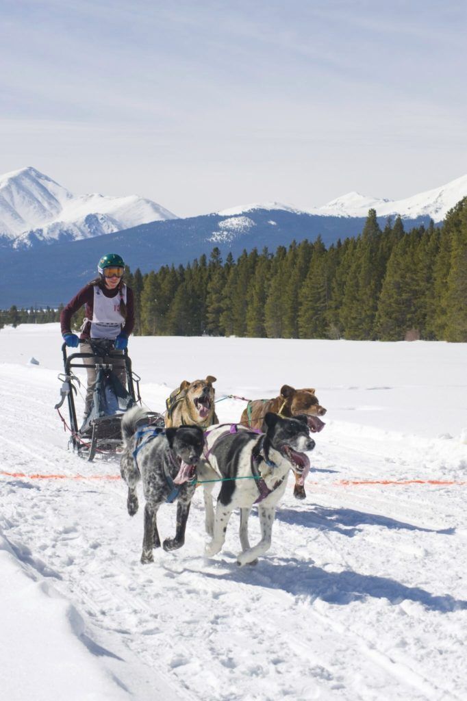
Winter: In winter, many of these roads are groomed for Nordic skiing, snowshoeing, fat biking, and snowmobiling as part of Leadville’s winter trails system. These groomed county roads wind through Leadville’s mining structures, with spectacular above-treeline views. You can fat bike, cross-country ski, snowmobile, and snowshoe on these trails.
Exploring more of the East Side? Know before you go! Check out our Colorado Backcountry Winter Safety Resources.
You’ll find your expedition is rich in history and in scenery, with views out to the Arkansas River Valley and across to 14ers Mt. Elbert and Mt. Massive and much more of the lofty Sawatch Range.


Visit Leadville Twin Lakes, Colorado on Another Level
VISITOR CENTER WINTER HOURS: THURS - MON 10AM TO 4PM
CLOSED TUES & WED
460 HARRISON AVE LEADVILLE, CO 80461
719-486-3900