Get in touch
Leadville Visitor Center
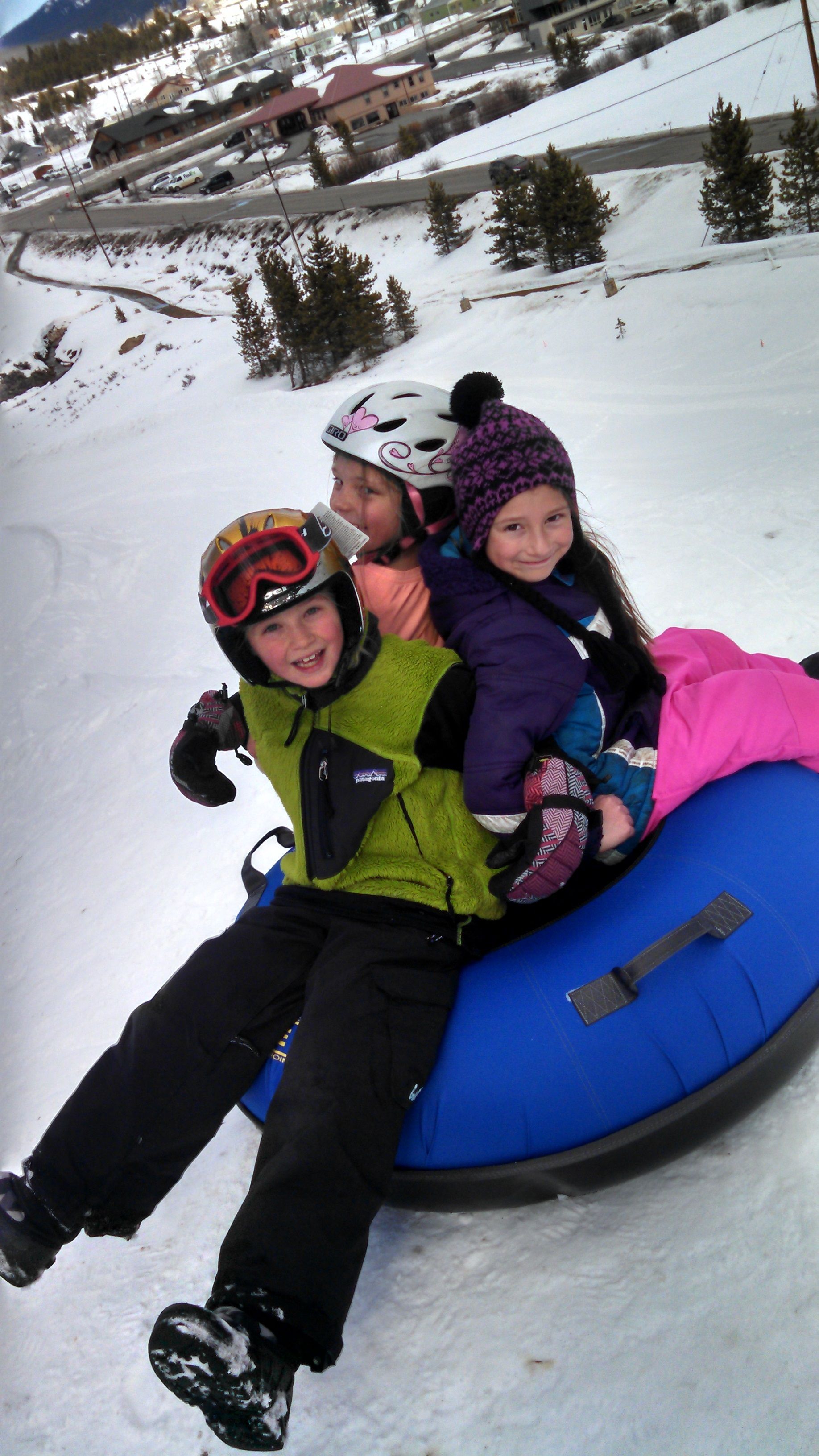
East Side Mining District – Like Diamonds – Groomed Winter Trail
WHAT IT IS
An out-and-back trip along groomed winter trail to a high, jaw-dropping view of the snow-covered mountain ranges surrounding Leadville.
Sports:
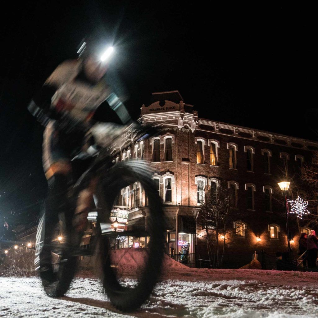
- Fat biking
- Hiking
- Nordic skiing
- Snowmobiling
- Snowshoeing
Mileage: 4.8 miles round trip
Elevation Gain: 11,056’ – 12,000’
Conditions: The High Riders Snowmobile Club posts when they groom the East Side Mining District
WHY IT’S A FIND
The elevation gain is steady but not too steep, and the scenery is worth every step—views as good as you’d see from a summit, with only a fraction of the work.
You’ll be following portions of the route the Leadville Race Series uses for its Trail Marathon and Heavy Half Marathon each June and that burro racers take during Leadville Boom Days in August. All those races go even higher, to the 13,185′ top of Mosquito Pass, so mark your calendar to come back in the summer and try ’em—or bring up your burly 4WD for a crawl.
Plus, you’re passing some fun history along the way. Give this gorgeous trail a whirl, and your eyes will sparkle…wait for it…like diamonds.
Play it safe. Know before you go. Colorado Backcountry Winter Safety.
PARKING
Silver Spoon parking is where plowing stops on County Road 3, about 4 miles east of Harrison Ave., downtown Leadville’s main street.
The nearby Silver Spoon Shaft is 600’ deep and brought up gold-rich ore from the Winnie-Luema vein in the early 1900s. This celebrated streak of gold runs north-south for 4,000’ and remains the longest, most productive, and most thoroughly explored vein in the district.
(Want to explore this area in summer? Try the Route of the Silver Kings driving tour.)
THE TRAIL
HISTORY: BURIED GOLD, SNOWSHOEING PREACHERS, AND FROZEN CHICKENS
From the parking area, head up County Road 3, and at the first intersection hang a left to follow it east up a slight grade. The Famous Mine was to your left about a third of a mile east of the road junction. Early production was from lead-silver-zinc blanket deposits. It was last operated in the 1930s when it produced small amounts of gold.
Soon you’ll arrive at a Y intersection and level place to catch your breath. Ahead are the peaks of Mosquito Range and the now-closed Diamond Mine, where a steel head-frame towers over a shaft sunk in the 1980s to bring up gold from 1,000’ below. Behind you, the Sawatch peaks are coming into view.
RESURRECTION MINE
A small, metal-clad building covers the No. 2 shaft of the Resurrection Mine, located about 750 feet east-southeast of the sign at the junction of County Road 3 and County Road 3C. This shaft produced ore during the carbonate boom of the early 1880s.
Carbonates are minerals that form when magic happens. When lead, zinc, and silver sulfide minerals are exposed to water with oxygen near the earth’s surface, complex chemical reactions take place. The sulfur is removed, and the metals recombine with other elements. Bring carbonates to a fiery smelter, and you might take home lead and silver.
In this area, far below your feet lies the Yak Tunnel, an underground superhighway for ore that shot 3.5 miles from the Diamond Mine to California Gulch, just southeast of Leadville up Toledo Street. Started in 1895 and finished in October 1908, it connected and drained the many mines it passed along the way. It is now permanently plugged. Drainage water that used to go into the Arkansas River is now treated in the Newmont water treatment plant—leaving the river as Gold Medal Trout Waters for your fishing pleasure.
DIAMOND MINE
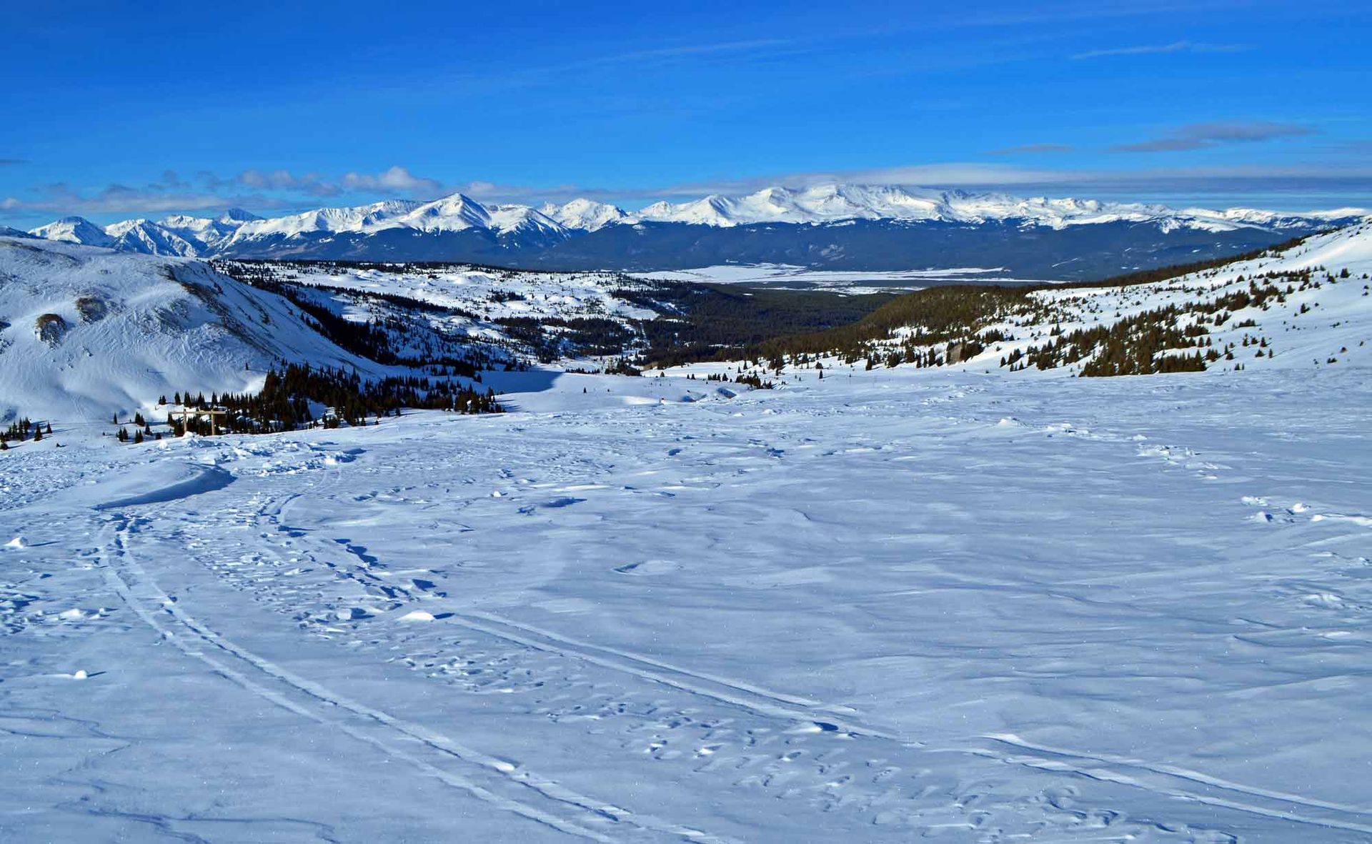
Keep straight toward the Diamond Mine, then follow the groomed trail around to the left. Then you will begin the climb to the base of Mosquito Pass, a notoriously tough 4WD road nicknamed, in summer, “The Highway of Frozen Death.” Grooming ends just before the switchbacks climb the hill, at a high, flat spot. This is the winter turnaround spot.
Your reward? Unobstructed views of the Sawatch Range, from Mt. Elbert (Colorado’s highest) and Mt. Massive north to Mt. of the Holy Cross (all 14ers) and north toward Copper Mountain and the Gore Range, an airy vantage point you don’t get many places in Leadville.


Visit Leadville Twin Lakes, Colorado on Another Level
VISITOR CENTER WINTER HOURS: THURS - MON 10AM TO 4PM
CLOSED TUES & WED
460 HARRISON AVE LEADVILLE, CO 80461
719-486-3900