Get in touch
Leadville Visitor Center
East Side Mining District – Silver Spoon Trail – Groomed Winter Trail
Trail Name: Silver Spoon
Distance: 3 miles
Elevation Gain: 10,800’ – 11,400’
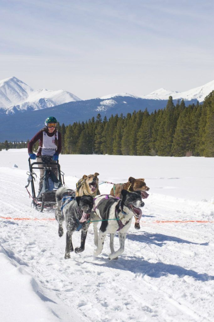
Activities: Motorized and non-motorized: Nordic ski, fat bike, snowshoe, snowmobile, snow bike
Equipment: Rent equipment in downtown Leadville
Cost: Free
*
Conditions: The High Riders Snowmobile Club posts when they groom the East Side Mining District
TRAIL MAP (interactive map / printable map)
WHY IT’S A GEM
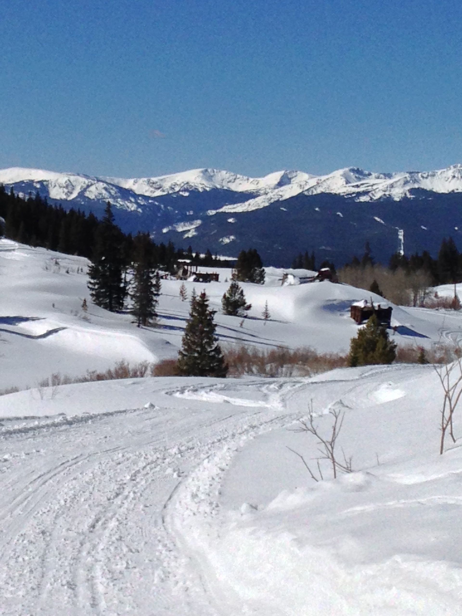
This easy loop gives you a taste of the mining history in Leadville and the high, scenic peaks above the nation’s highest incorporated city. This gradual three-mile loop finishes with a rousing downhill. As you leave the parking area and pass through occasional stands of pines, the trail will soon open up to views of the rocky Mosquito Range that rises behind Leadville. You’ll pass a timbered headframe and other mining ruins on your left before crossing a small creek and bearing right at the intersection with County Road 38.
Peek at another mining ruin hidden in the trees as you start a shaded climb that then reveals Mt. Massive and the tall peaks of the Sawatch Range to the west. More cribbing and tailings piles are to your left as you follow 38 to the right and back into the pines, with a rocky but inspiring downhill with yet more views, out to Turquiose Lake, back to your car.
DIRECTIONS TO TRAILHEAD
From Harrison Ave. in downtown Leadville, follow 7th Street (same as County Road 3) east about 3 miles. Where County Road 38 splits to the right (groomed and not driveable in winter), a wooden sign marks the former town of Evansville. Park here in the small turnaround or on the sides of the road. Please do not block County Road 38, so that snowmobiles and grooming machines can get through.
PARKING
There is a small lot and room to park on the sides of the road.
ON-TRAIL DIRECTIONS


Visit Leadville Twin Lakes, Colorado on Another Level
VISITOR CENTER WINTER HOURS: THURS - MON 10AM TO 4PM
CLOSED TUES & WED
460 HARRISON AVE LEADVILLE, CO 80461
719-486-3900